Mount Utsayantha
| Quick Look - Mount Utsayantha | |||||
|---|---|---|---|---|---|
| Difficulty | Round trip | Total climb | Location | Internet Maps | |
| 2.0 mi. | 700 ft. | N42.399 W74.59 | AllTrails | ||
Mount Utsayantha is just southeast of the village of Stamford in Delaware County. The mountain has a fire tower which gives GREAT views of the surrounding mountains, hills and valleys. From the ground there is a nice view down into Stamford from in front of the Churchill Education Building. The mountain also hosts several communications antennae. The dirt road to the top is passable in all but winter and the wettest conditions.
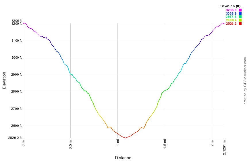
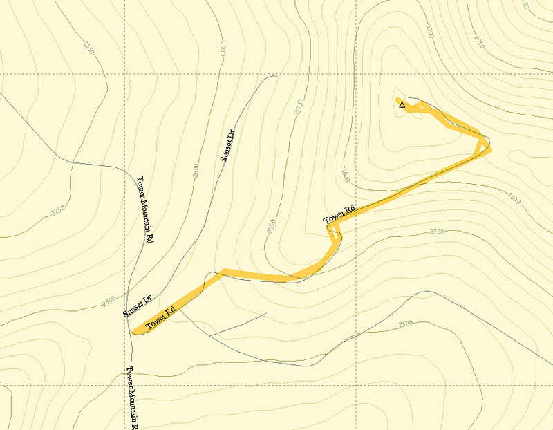
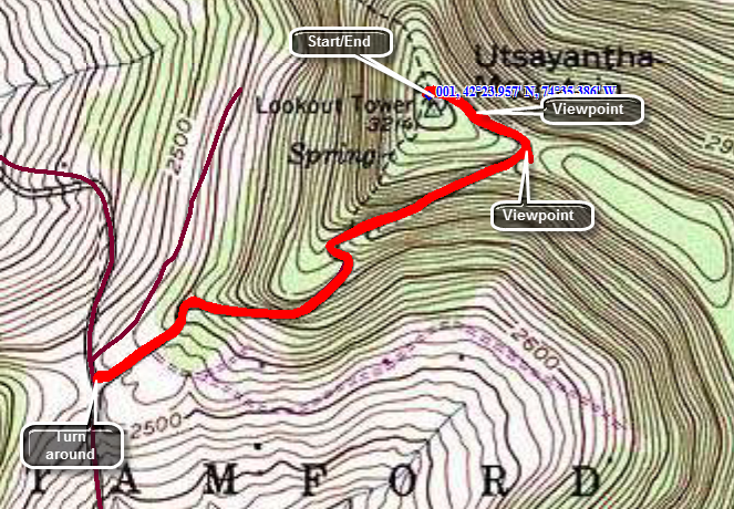
Head east from Stamford on Route 23 watching for Mountain Avenue on the right. This turns into Tower Mountain Road as it climbs quickly. As the road begin to level off after about 1.25 miles. Turn left onto Tower Road. Driving to the top may be possible but does NOT count for the CHH list. Park at the bottom and walk up the road to the summit. At about .8 miles the road splits but bear to the left and walk another .2 miles to the top. Look around. Climb the fire tower. Walk to the front of the Churchill building. Take lots of pictures. On the way back down stop at the viewpoint on your left and take some more pictures. At the fork in the road walk straight ahead for a different view in a different direction. Turn around and return back down the mountain to your car.
| Quick Look - Mount Utsayantha | |||||
|---|---|---|---|---|---|
| Difficulty | Round trip | Total climb | Location | Internet Maps | |
| 2.0 mi. | 700 ft. | N42.399 W74.59 | AllTrails | ||
Mount Utsayantha is just southeast of the village of Stamford in Delaware County. The mountain has a fire tower which gives GREAT views of the surrounding mountains, hills and valleys. From the ground there is a nice view down into Stamford from in front of the Churchill Education Building. The mountain also hosts several communications antennae. The dirt road to the top is passable in all but winter and the wettest conditions.
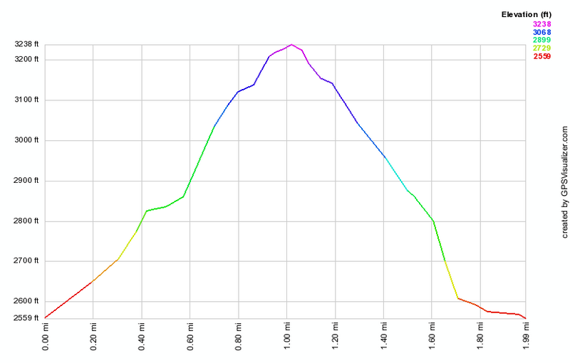
Head west from Stamford on Route 23 watching for Mountain Avenue on the right. This turns into Tower Mountain Road as it climbs quickly. As the road begin to level off after about 1.25 miles. Turn left onto Tower Road. Drive to the top and park at the Churchill Education Center near the fire tower. The viewpoint in front of the education center has a great view of the village of Stamford and for miles beyond. Climb the fire tower if you like or save it for when you return from the bottom of the mountain. The views from the tower are nice but it can be tricky to take pictures as there are several communications towers that share the summit. Walk down the access road and stop at the viewpoint that is only .15 miles down from the summit. There is a small wooden platform that was once used for hang gliding. Continue to walk down the road to .25 miles where there IA a hairpin turn to the right. Walk straight ahead to the viewpoint to the east and you can see Churchill Mountain and the valley below. Back on the main road continue your descent to Tower Mountain Road at just over 1 mile. Turn around and walk back to the car.